GIS in Web-browser?
The use of modern technologies provides significant advantages.
Performance
Our system is optimized for fast processing of large datasets, ensuring stable and efficient operation even with datasets containing over 100,000 objects.
Extensive Styling Options
Easily change colors, icons, and object displays based on their attributes. Automatically adapt the style of points, polygons, and statuses with minimal effort.
Cloud Access
Users can work with their data from any device with internet access, without the need to install additional software.
Filtering and Analytics System
Thanks to a well-designed structure, users can quickly find the necessary objects, minimizing the time spent on data processing.
Demo Materials
Explore the available features and successful use cases of the GIS Softpro system.
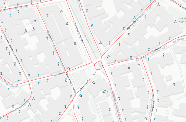
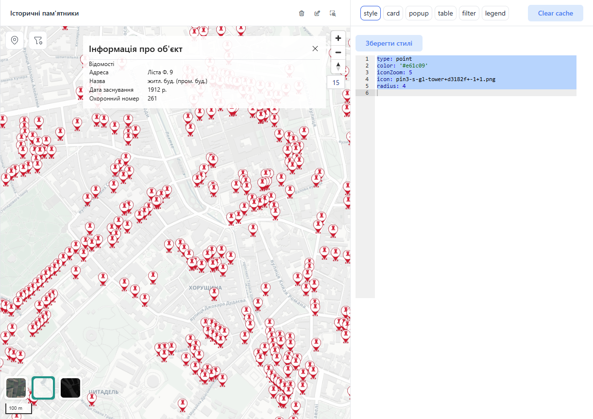
Address Registry
An example of using the system for maintaining an address registry.
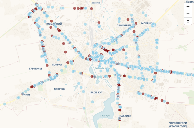
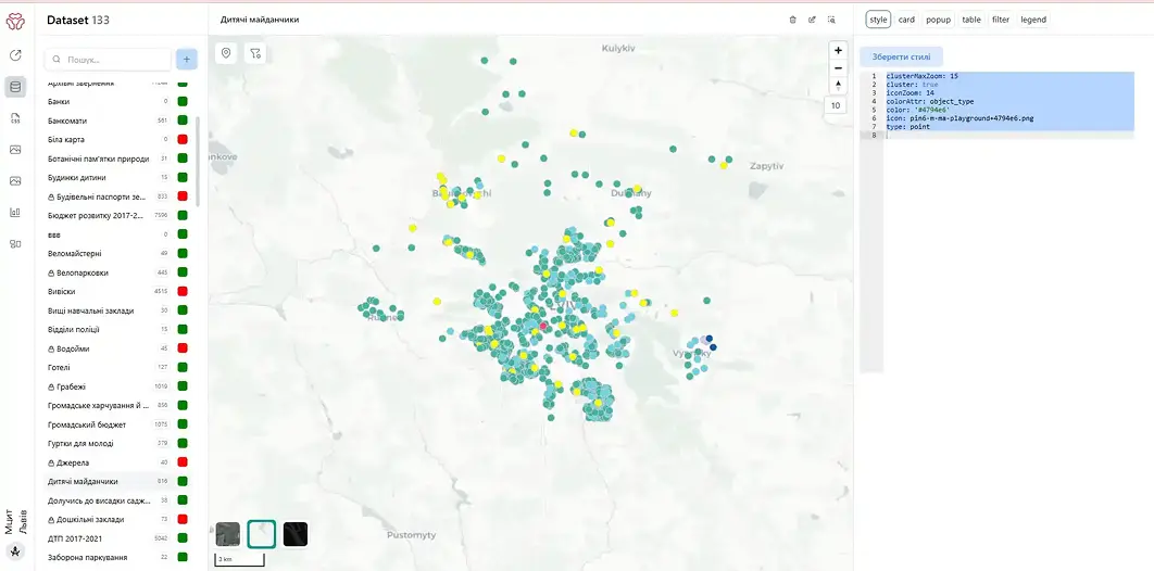
Point Color by Attribute
Change point colors based on their attributes.
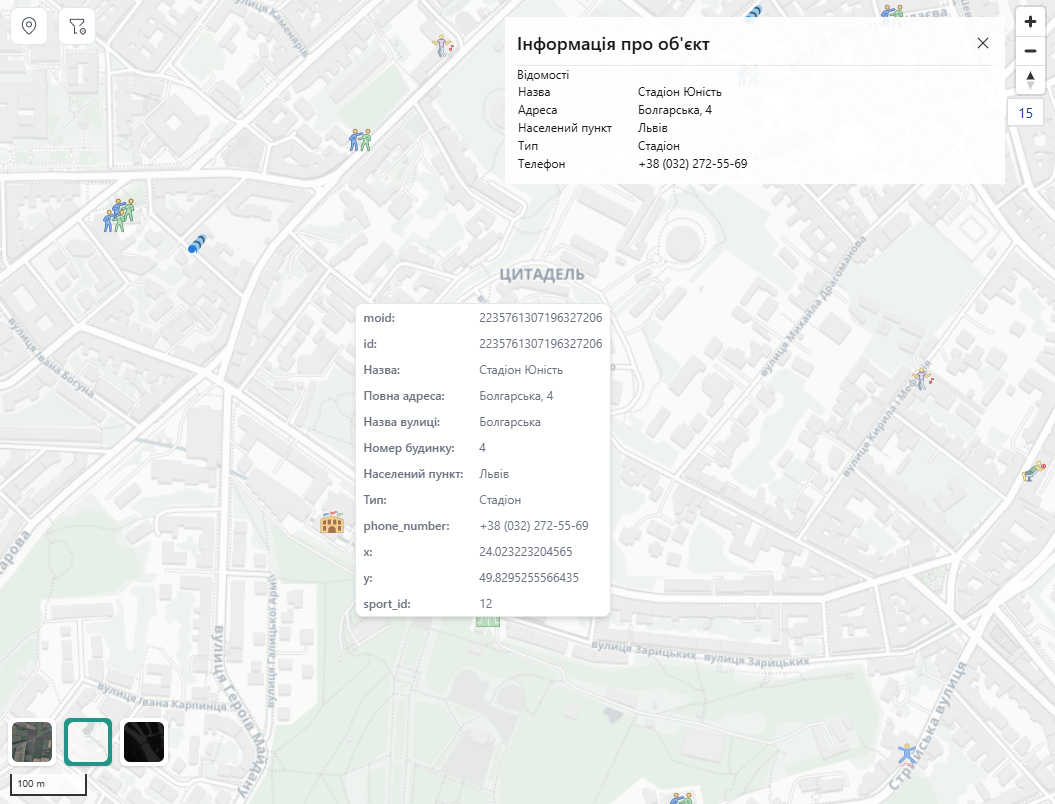
Icon Settings
Customize object icons. Use popular SVG icon libraries or upload your own.
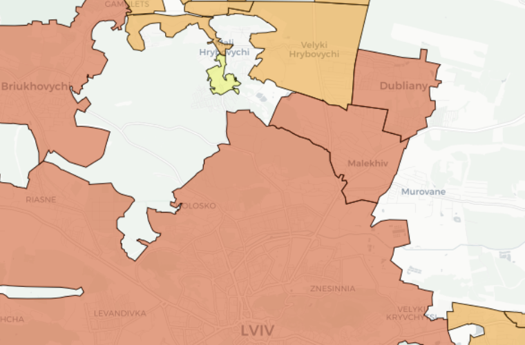
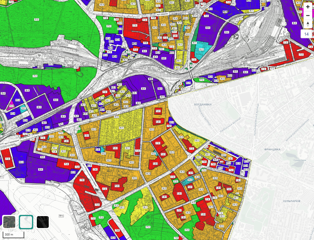
Territory Zoning
An example of using the system for city territory zoning.
Custom Icons
Upload your own icons and change object appearance based on their attributes.
Polygon Settings
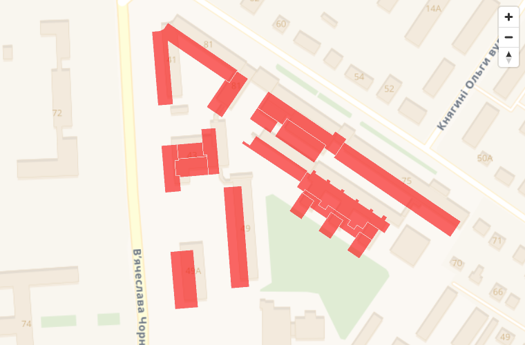
Change polygon colors.
Features
What does it allow?
- Visualize layer objects
- Filter data by attributes
- Modify data styling
What features does it offer?
- Displaying object cards and pop-ups
- Changing the map baselayer
- Clustering based on zoom level to improve readability of large datasets
What functionality does it provide?
- Adding raster layers
- Tile generation
- Extracting raster statistics
What functionality does it provide?
- Upload custom images
- Modify pin color, size, and appearance
Write us
Encountered a technical issue? Want to provide feedback on a beta feature? Need information about our business plan? Let us know.